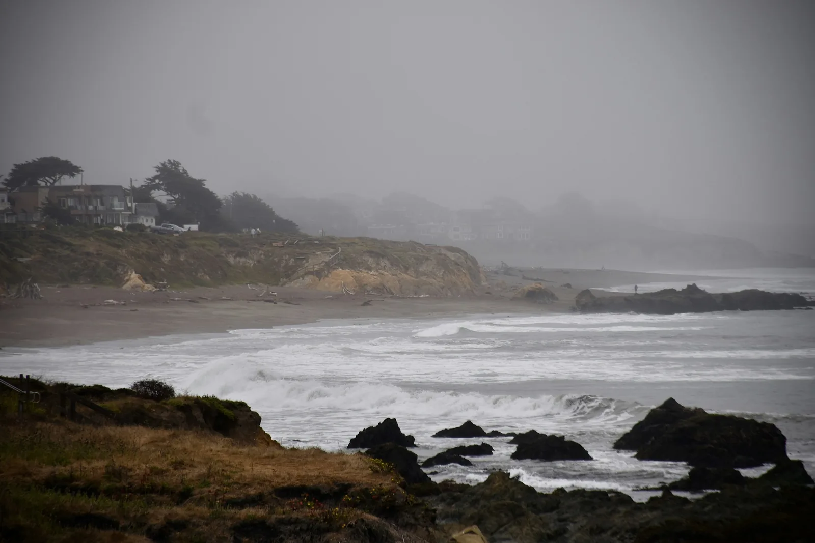
NOAA declared El Nino back in June, but the tropical Pacific and the California coast do not run on the same clock. Warming at the equator precedes West Coast effects by several months, and scientists tracking the signal expect the coast itself to start feeling it through this fall and winter.
If you have a Highway 1 trip, a Big Sur weekend or a winter beach week on the calendar, this is worth ten minutes of reading. Not because the trip is a bad idea — but because the thing that goes wrong is specific and predictable.
The mechanism, in one paragraph
Weakened westerly winds at the equator launch what oceanographers call Kelvin waves. They travel north along the coast, and when they arrive they show up on tide gauges and satellites as a measurable rise in coastal sea level — roughly 15 centimetres, about six inches. The same waves push the thermocline deeper and weaken the winds that normally drive cold, nutrient-rich water to the surface, which is why nearshore temperatures run unusually high from Baja California all the way to Alaska.
One clarification worth having, because it is easy to get wrong: NOAA scientists attribute the warmth already showing up in Southern and Central California to an earlier marine heat wave, not to El Nino itself. The El Nino signal is still arriving.
Six inches does not sound like much. That is the trap
Half a foot of sea level is nothing on a calm August afternoon. It matters because it never arrives alone.
It stacks on top of the year’s highest astronomical tides — the ones informally called king tides — and then a winter storm adds surge and swell on top of that. The result is not a gradual, visible change in the waterline. It is a handful of days when the water reaches places it does not normally reach: the base of a bluff, the parking lot behind a beach, the low section of a coastal road.
California officials are already warning coastal homeowners to review their flood and erosion coverage ahead of the winter, on the back of sinkholes, bluff collapse and wave damage. For a traveller the equivalent question is smaller but the same shape: what happens to your trip if the road you planned to drive is closed for two days?
What actually changes for a visitor
- Beaches get smaller, then temporarily disappear. A beach that is generous at low tide can be gone at high tide during a king tide week. Check a tide table before you plan a walk with a fixed turnaround point.
- Coastal roads close. Highway 1 closes for slides and washouts in ordinary winters. An El Nino winter raises the odds without telling you which stretch or when.
- Bluff stairs and access paths get undermined. Access closures are frequently the first sign a trail is unsafe, and they go up faster than they come down.
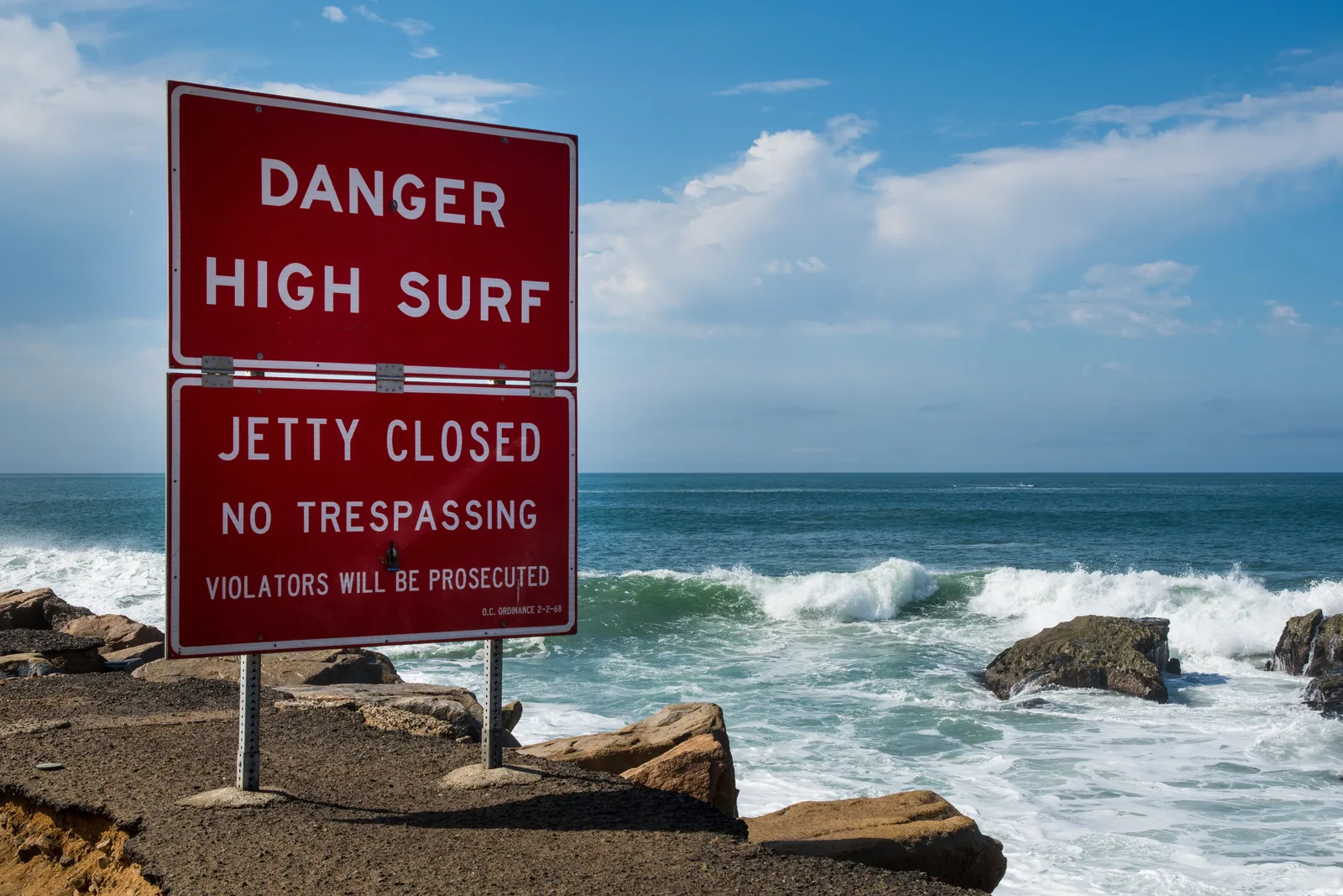
- High surf advisories mean it. Rocks, jetties and tide pools that are safe most of the year are not safe during a big swell, and the sneaker-wave risk on this coast is real.
The wildlife changes too
If your trip is built around what lives in the water rather than what is next to it, expect a different coast. Weakened upwelling shifts the whole system: warm-water fish move north, red crabs turn up where they usually do not, and the copepod community shifts toward more diverse but lower-lipid species, which means poorer food for juvenile salmon and everything above them.
The 2015–16 El Nino produced reduced seabird breeding success and, in some species, complete reproductive failure. Seabird colonies, whale-watching and tide-pooling are all worth checking with a local operator close to the date rather than booking on last year’s experience.
How to plan around it without cancelling
- Read the tide predictions, not just the forecast. NOAA publishes them free for every station on the coast. Aim the coastal parts of your day at low water.
- Check the National Weather Service for high surf and coastal flood advisories for the specific stretch you are driving, on the morning you are driving it.
- Keep an inland alternative in the itinerary. A route that only works along the water is a route with a single point of failure.
- Do not park below a bluff line or on the sand side of a low seawall during a king tide.
- Book accommodation you can move. Flexible rates cost more and are worth it in a winter like this one.
The honest caveat
El Nino raises the odds of certain regional patterns. It does not guarantee any specific local outcome, and a strong signal has been followed by a quiet coastal winter before. Nothing here says do not go — it says know which two or three days of your trip are the ones to keep flexible.
The same El Nino is what has the ski forecasters arguing, and we went through where the models agree and disagree in our winter 2026–2027 snow forecast. For the general habit of reading a hazard forecast before a trip rather than after it, our guides to planning around Atlantic storm season and to reading flash flood risk in desert canyons use the same approach on different water.